The Planning Board at its meeting Monday night discussed requests from Eversource for stormwater management and earth removal permits as well as updates from board liaisons on making Hopkinton’s trails systems more interconnected.
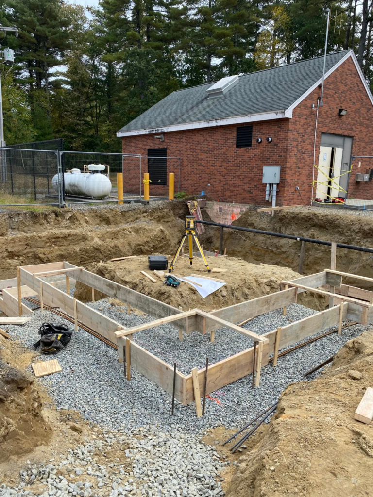
There were two preliminary hearings on Eversource’s requests for its project at the LNG (liquefied natural gas) facility at 52 Wilson St. After some discussion, they were continued to Aug. 23.
“The work that’s being proposed with this application is essentially the paving of an existing gravel access road,” said Tracy Adamski, who presented on behalf of the applicant. Adamski said the road is 24 feet wide and approximately 875 linear feet, and paving it would provide better access to the rear of the site.
A 15-foot access road also is being proposed at the request of the Hopkinton Fire Department to allow another point of entry to the site at the back.
A stormwater management system including stormwater basins will need to be incorporated, Adamski added, as there is no current design in place. This will allow for the capturing and treatment of the increased water flow from the addition of impervious surfaces. The plan is said to meet the requirements of the town’s stormwater bylaws as well as the Massachusetts Department of Environmental Protection (DEP) stormwater standards.
An earth removal permit was requested in order to allow for construction to take place.
Another concern was the increase in sedimentation into the Hopkinton Reservoir because of the heavy rain this summer, so Principal Planner John Gelcich wanted to ensure that the stormwater management system would be adequate.
The Planning Board scheduled a site visit for Saturday, Aug. 7, at 9:30 a.m., which would be open to the public. Participants should meet at 55 Wilson St.
The hearings were continued until the next meeting on Aug. 23 to allow for comments from town engineering consultant BETA Group as well as from the site visit.
Trails update provided
Members Jane Moran and David Paul gave updates on trails system progress for the Upper Charles Trail Committee (UCTC) and the Trails Coordination and Management Committee (TCMC), respectively.
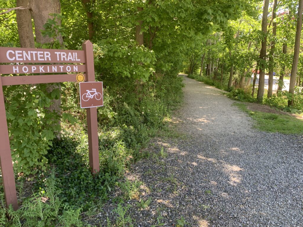
“Our charge is to come up with various routes from the Milford Upper Charles parking lot through the eastern part of Hopkinton,” Moran said as she presented a conceptual plan. “It must include the Center Trail, and then we would end up at the Hopkinton State Park.”
The eventual goal is to have an interconnected trails system from the existing parking area through private developments along Hayden Rowe Street with easements to reach the Marathon School property. Trails would then continue through EMC Park to the school campus to connect with the Center Trail, eventually continuing to the State Park.
Completing an interconnected system will be several years down the road, with the assistance of grant funding. The priority would be the trail through the school campus.
Paul explained that the TCMC manages all trails in the town. He reviewed the major trail systems and goals for connectivity, including working with other trails organizations to plan coordination of a trail network.
Feedback from neighbors will be essential to the success of trails enhancement. The committee also works with the Boy Scouts on creating loop trails and bridges.
“They’re doing a lot of good things and moving in the right direction,” Paul said.
Misc.: Leonard Street changes OK’d
A revised version of the subdivision plan on Leonard Street was presented to the board by developer Lou Petrozzi and was approved by an 8-0 vote. It contained two modifications members recommended at the last meeting. A small parcel on the left-hand side of the property at Maple Street Extension did not have a number on the previous plan and is now marked as 4A. This parcel is not able to be developed, but Petrozzi is leaving it open in case it is needed for an access road to the subdivision.
The name of Buckland Street, a nonexistent paper road, was removed from the subdivision plan. The name remains on property not connected to the subdivision, Petrozzi explained.
“We’re not able to remove that from the plan because it is on prior plans that were signed by this board,” he said. …
A controversial plan was withdrawn from consideration by the developer without prejudice before the meeting. The Equestrian Realty Trust project off Ash Street and Chestnut Street had been presented as a five-lot subdivision. But during that hearing it was acknowledged that the intent was to construct a solar farm on the property, and the subdivision plan was a means of skirting the new solar bylaw. The application for the proposed roadway through the parcel also was withdrawn without prejudice. Both withdrawals were approved unanimously.
The developer retains the right to reintroduce the proposal at another time. …
The issue on the alleged disturbance of Indigenous artifacts at the Wilson Street solar development site was expected to be discussed at this meeting. However, Grasshopper Energy, the developer, and the Narragansett Indian Tribal Historic Preservation Office are in the process of negotiating a compromise. The project is expected to be discussed at the next meeting.





Could eHop publish the conceptual route for the Upper Charles Trail presented by Jane Moran at the 7/26 Planning Board meeting?