

Former Planning Board chair Gary Trendel gave a presentation to the Trails Committee on Wednesday night on the connectivity survey he spearheaded during his tenure.
Members were interested in Trendel’s findings, hoping that it could help inform their decisions on potential trail locations and residential demand for them.
Trendel said the connectivity survey was generated in late 2021. It emerged after the board heard repeated inquiries since the end of 2020 for more sidewalks and trails. But there was a disconnect when it came to voting for funding for them at Town Meeting, with “failed attempts” over a stretch of several years.
Rather than survey where people wanted sidewalks, the survey dug deeper, looking at pedestrian, runner and cyclist patterns to see where “nonvehicular connectivity” would make the most sense.
“The idea was that we would use this as the basis for a Hopkinton pedestrian connectivity plan,” explained Trendel. “And so part of the vision that we had was how we can build more links — trails, sidewalks — to enable people to move around town without cars.”
One tangible result gleaned from the survey was the sidewalk going on to Chestnut Street, which improves safety and provides connection to trail loops.
There were 368 responses to what Trendel called a “branch survey.” Depending upon the respondents’ interests, they were directed to different survey sections. He pointed out that 85% of respondents said that more trails and sidewalks would improve mental and physical health.
While there was a slight preference for paved surfaces, gravel and single-track trails also were desired. A priority was for loops of 2-4 miles away from cars that would get them to popular destinations.
One key point Trendel stressed was that people would be willing to walk a mile to get to schools or businesses. Walkers were more likely to walk to visit neighbors, but they were more likely to walk farther distances to businesses.
Said Trendel: “As we think about how we build out from these anchors and these resources, this hopefully gives a little bit of insight.”
After a virtual meeting on the survey, Trendel said the Planning Board worked on prioritizing locations for connectivity to infrastructure. He offered to provide a map to the Trails Committee.
“I think it’s important to keep that information as we’re kind of working through our stuff,” said chair Peter LaGoy.
Public outreach, trail map discussed
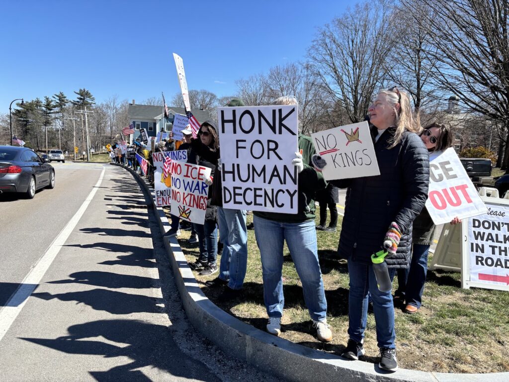
Members continued to discuss the need for public outreach and the means they should take to accomplish it. The discussion branched off to connecting with different groups, including realtors and the Hopkinton Chamber of Commerce.
“Hopkinton has a reputation for being as sort of this active community,” LaGoy said. “People are looking to move to places where they can do active things. And I think connectivity and trails help us with that perspective.”
Member Ken Parker said there are properties in town that would be good for trail connectivity. The committee should have “a better connection to realtors” so they can know whenever properties of interest are going up for sale. Easements then potentially could be negotiated with the new property owners.
The committee then would get a better understanding of if and how realtors view trails when marketing properties, added member Jack Buckley.
He added that some residents have little knowledge about different trails and how they connect.
LaGoy suggested forming subcommittees or working groups to focus on priorities for trails as well as outreach. Also, he said there needs to be a procedure for notifying neighbors when new trails are proposed.
Member Sean Kimball noted that there needs to be a cohesive way for the public to find information on trails. There currently are trail maps on three different websites, he said. There needs to be a way to consolidate this information, he stressed.
“Can we get some consistency on where we want to go?” he asked. “Let’s get some consistency on our knowledge and then we work from there.”
Also, different trail apps and websites have differing information about Hopkinton’s trails, members said. AllTrails, Trailforks and OpenStreetMap, for example, have differing trail information. They also don’t differentiate about trails with easements on private land.
Now that there is a new committee and a relatively new town manager in Elaine Lazarus, Buckley said, there may be more cooperation on getting trail information updated on the town website.
“People have a fundamental right and interest in knowing where the trails are,” said Buckley. “And a responsive government should provide that to them.”
The pros and cons of the apps will be one topic of discussion at the next meeting, as well as the townwide trail map.


I recently started walking the trails for health reasons and I am so impressed with how nice they are and how walking them has really made me feel more connected to the community. I watched a Youtube video on how to navigate them but I think it may have been posted from a few years back. Thank you to the volunteers and everyone that have worked so hard to provide them and maintain them.