

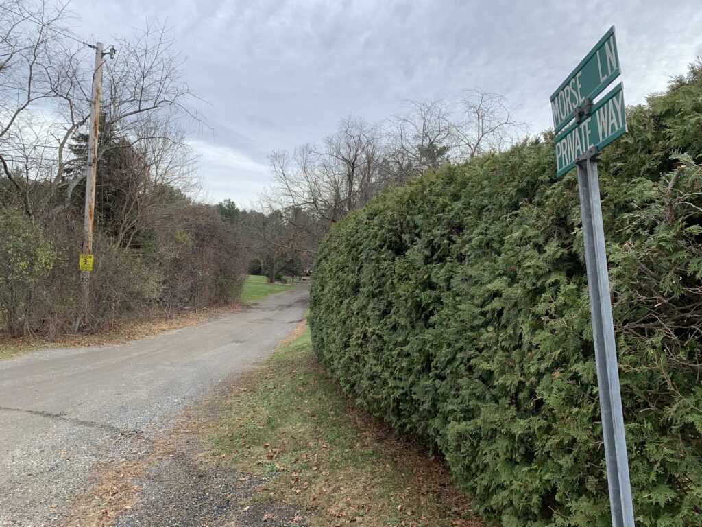
The Conservation Commission on Tuesday moved one step closer to approving a certificate of compliance for the Whisper Way subdivision that would allow the developers to seek acceptance of Whisper Way as a town road.
After discussion, chair Melissa Recos said the certificate of compliance (COC) likely will be issued at the Jan. 6 meeting, once “loose ends” on documentation are resolved.
Mark Arnold from Goddard Consulting represented the applicant. He explained that the request is in response to an order of conditions issued in 2019 for the 12-unit subdivision that was built there.
The project, he said, had two parts. One was the widening of the existing Whisper Way roadway to accommodate the subdivision, per Planning Board requirements. This caused some wetland impacts. Culverts had to be installed to allow wildlife to move through the crossing safely.
He added that work on a stormwater basin there has brought the project into “substantial compliance” with the order of conditions.
The second part was to construct a common driveway for two properties on the other side of the road to “prevent a loop subdivision road” for the entire property. This required installation of a “very engineered stream crossing” to maintain the elevation of a vernal pool. Over the past five years, Arnold said, it has been monitored and has shown no changes in water elevation.
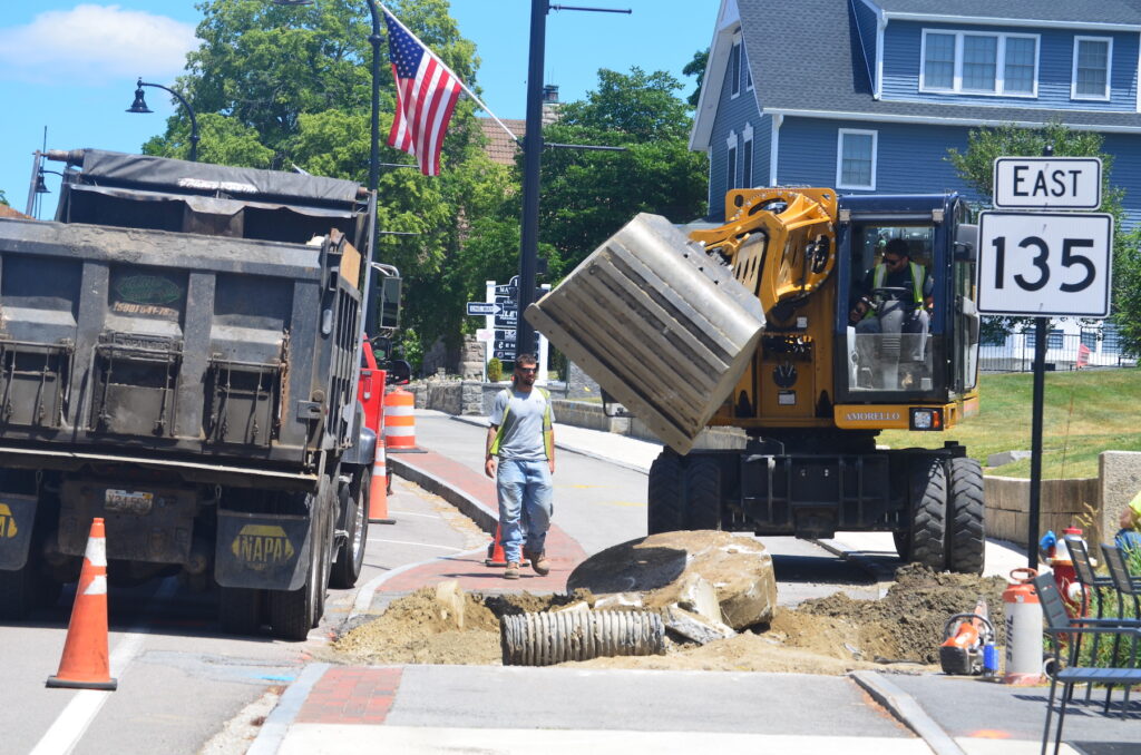
Added Arnold: “You may remember from a few weeks ago, that’s where the accident happened with the truck.”
A tractor-trailer hit a tree and caught fire on Wood Street at the intersection with Whisper Way on Oct. 30.
Due to several wetland crossings caused by the project, a wetland replication area was created, Arnold noted. This area showed a “very good establishment” of diverse vegetation and a bird nest in July. The developers, Ron and Craig Nation, have been pulling weeds by hand, he said.
But wetlands consultant Joe Orzel pointed out that there was “quite a bit” of tree and shrub mortality. Also, one shallow vernal pool was inspected annually rather than twice.
Arnold responded that in 2019, there were “no requirements for vegetational survivability.” Regarding the vernal pool, he said it was hard to collect data because of its depth. And there is no town bylaw for local vernal pool certification. Orzel agreed that this vernal pool was “very borderline.”
After discussion, the commission determined that this vernal pool did not need to be certified for the COC to be approved. Neither did the tree and shrub survival rate. The area still will require monitoring, Recos said.
The acceptance of Whisper Way as a town road will need to be approved at Annual Town Meeting on May 2.
Legacy Farms South project change discussion continued
Arnold also represented the applicant for this project at Legacy Farms South. He explained that the applicant has been working under an enforcement order to complete wetland restoration and monitoring. The area is a bordering land subject to flooding (BLSF).
He gave a lengthy presentation about the mitigation effort at Legacy Farms South that showed its previous state in 2014 as well as how it looks today.
Said Arnold: “There’s a few ways to look at the discrepancies in terms of the volume of the floodplain being mitigated and how that could be remedied or left in place potentially.”
He noted that VHB, the initial engineer in 2014, did not appear to be monitoring the water volume of the BLSF. The pond there was modified, and a lagoon-like extension was created adjacent to it.
While the area “looked right” about 18 months ago, Arnold explained that beaver damming has altered the water’s depth. This affected the bank restoration, making it “a little bit under” what is required.
He noted that most of the area was filled above the BLSF requirements. The issue was the top foot, where the actual fill was 527.5 feet short.
Arnold questioned whether the additional fill in the rest of the area could compensate for the lack at the top. He said it is hard to add fill at the top of an incline and may disturb more than 10,000 square feet of that area in the process. Arnold requested that the top be regraded without affecting the footage requirements below. The net volume still would comply with the floodplain requirement.
Recos asked that Orzel be allowed to review the data provided. The discussion was continued until Jan. 6.
Chamberlain Street/Loop Road trail plan approved
After a series of continuations, the commission approved a proposal from the Trails Committee to build a trail connecting Chamberlain Street and Loop Road.
The commission had been awaiting a file number from the state’s Department of Environment Protection (MassDEP).
Day noted that MassDEP also commented that further erosion controls are needed through the limit of work area. Chuck Dauchy, the director of the Hopkinton Area Land Trust (HALT), who has been assisting the Trails Committee, added them to the plan before the meeting.
In addition, the commission requested that stone dust not be used in the proposed trail area between the stormwater basin and the wetland area.
COC for The Trails OK’d
The commission issued a COC for The Trails development with a 5-0 vote due to completion of work at the Hopkinton-Ashland border, off Wilson Street. The Trails is a 55-and-over housing development located off Legacy Farms North Road.
Project engineer Peter Bemis noted that work was completed in the fall of 2024 on property owned by Ashland.
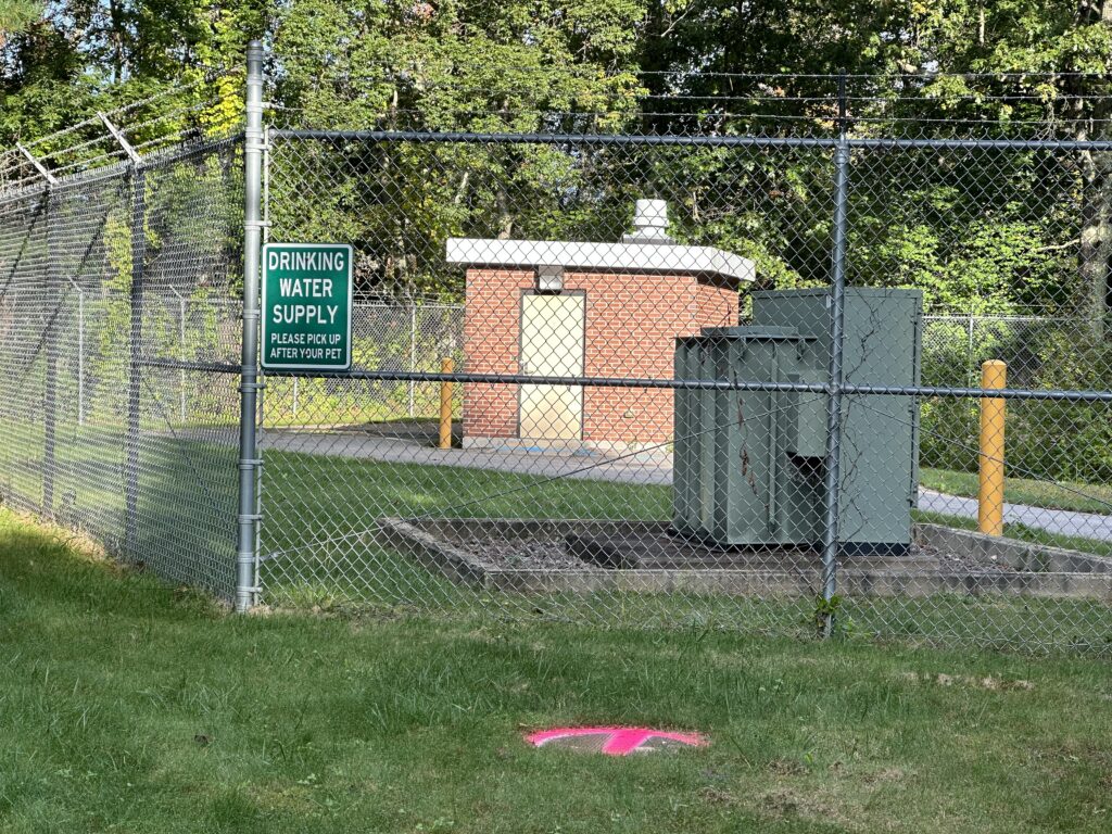
Stormwater from The Trails entered onto this property and traveled into Ashland’s water treatment plant, which is why the commission held the discussion. Since then, Bemis said, a swale was constructed to redirect the water to the east.
The project has had a history of violations and fines over the past few years.
Bemis noted that the vegetation is “still healthy” in the Hopkinton area as of this fall. He made a commitment to replace any vegetation found to be in a worsened state as The Trails’ development project continues. It is in its fourth phase.


0 Comments