

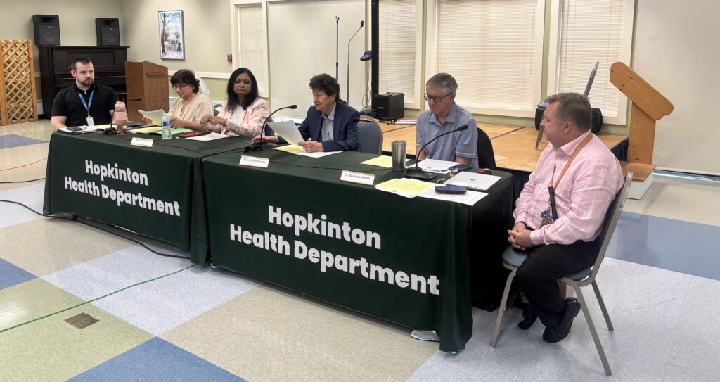
The Conservation Commission on Tuesday voted 5-0 to issue an amended order of conditions after new information was added to the Charleswood School plans that identified a buried culvert affecting the proposed driveway crossing.
At the April 8 meeting, Claire Hoogeboom, a wetlands scientist at LEC Environmental Consultants involved with the project, explained that the development team discovered what was called an intermittent ditch north of the school’s eventual location at 147 Hayden Rowe Street after the order of conditions had been issued. The ditch flows to the south and enters a 12-inch concrete pipe beneath the school site.
At this meeting, Hoogeboom discussed an intermittent stream that flows into the northern portion of the site.
“We identified the bank boundary of that stream and found a buried culvert that directs the stream continuing south off-site,” she said.
The development team submitted a new set of plans that depicts these features. To keep the project’s documentation consistent, Hoogeboom said the applicant sought an amended notice of intent (NOI) and an amended order of conditions reflecting the new information.
In addition, she noted that the revised plans also show an additional buffer zone that was not identified in the original NOI. Also, after the discussion at the previous meeting, only native plantings will be planted in the buffer zone.
Instructions were included to direct the contractor to replace the culvert at its current location, which crosses the proposed driveway entrance. A paved driveway turnaround also was added to the plans after discussions with an abutter to ensure safe access to the home.
Co-vice chair Ted Barker-Hook, who chaired the meeting in the absence of Melissa Recos, asked Hoogeboom to explain the water flow pattern. She said catch basins are planned on either side of the proposed driveway. The intermittent stream will flow south onto the site and enter the replaced culvert from a catch basin. The water will continue to flow underground across multiple properties for at least 700 feet. The culvert does not appear above ground until “well beyond” the school site.
“The culvert will just be replaced to ensure that when the driveway is installed, there’s no question or risk of it collapsing after the town worked so hard to construct this project,” she said.
The only question came from member Ed Harrow. He asked if additional restoration work would have been necessary had the culvert been known about previously. Conservation Administrator Judy Day said that because the team is replacing an existing culvert and not proposing any resource area disturbance, no replication is required. The all-native planting adjustment actually is an improvement to the area.
Baypath shelter hearing continued
The NOI hearing for the installation of utilities for a proposed animal shelter at 66-66B Fruit Street was continued until a file number could be obtained from the state’s Department of Environmental Protection.
Liz Jefferis, the executive director of Baypath Humane Society of Hopkinton, which runs a shelter on Legacy Farms North Road, explained that the idea for the new animal shelter was conceived a decade ago. In response to community needs, Baypath sought to expand at a property with a long-term lease.
Jefferis described Baypath’s joint effort with Project Just Because on a pet food pantry and its animal control and community education partnerships with Hopkinton and surrounding communities as examples of its commitment to the area. She first approached the Zoning Advisory Committee in 2015 about this project.
After working with the town to change its bylaws in 2017 to allow an animal shelter on town property, Jefferis responded to the town’s request for proposals and was chosen in March 2020. The pandemic delayed the signing of the lease until June 2022. Since that time, she said Baypath has raised more than $5.1 million of its $6.5 million goal.
Scott Jordan, a wetland scientist with EcoTech, explained that the proposed facility and its driveway are completely outside of the riverfront area buffer zone. The NOI was filed so that the building could connect to the water line. It will connect to the 12-inch main in Pratt Way with an 8-inch pipe. It will follow what he described as a “cart path/driveway/walking trail.”
Construction will require disturbance to the buffer zone, he explained. Straw waddles and other erosion control methods will be used. A trench will be dug for the water main and will be backfilled upon its installation.
Despite the relatively straightforward proposal, Barker-Hook explained that the hearing would have to be continued because the project had not yet received a number from MassDEP.
Joe Orzell, the commission’s wetlands consultant, said he noted a small isolated vegetated wetland “fairly close” to the proposed water main. He also asked that the applicant describe where soil piles will be kept and how they will be prevented from going into the roadway.
Jordan explained that the site is on a former gravel pit. The wetland described, he said, most likely was a part of a former wash pond system or a sediment basin for the gravel operation.
He added: “I suspect this thing doesn’t even have hydrology anymore.”
Co-vice chair Matt Moyen suggested that a condition be proposed stating that the commission is not determining whether a vernal pool exists there.
“I certainly don’t want to slow Baypath down anymore,” Barker-Hook said. “But it started 10 years ago. Another extra meeting or two isn’t a tragedy at this point.
“This is about as previously disturbed as you’re ever going to find,” he added, prompting laughter.
Hearing for ANRAD off Wood Street continued
The commission continued a hearing until May 13 for a request for an Abbreviated Notice of Resource Area Delineation (ANRAD) for property off Wood Street going up to Interstate 495.
Mark Arnold with Goddard Consulting represented the applicant, Ravenwood LLC. He noted that he and Orzell walked the site and reviewed flagging changes.
At the last meeting, Arnold asked whether this land could be classified as an ILSF (Isolated Land Subject to Flooding) under the Wetlands Protection Act. After performing two sets of calculations, he determined that the volume calculations and topography would classify the area as an ILSF without further engineering calculations being required.
He described it as “the high point in the saddle” over which water could not go.
Orzell questioned whether or not vernal pools existed there. Moyen mentioned that the vernal pool season is about to end, so he advised Arnold to “boogie out there and put eyes on it.”
Arnold said he would make small adjustments to the plans before the next meeting and address the vernal pool issue.


0 Comments